
QuakescanUSGS Earthquakes Near You
About
Quakescan shows you recent earthquakes near your location, pulling live data directly from the USGS Earthquake Hazards Program — the same source used by seismologists worldwide. No account, no ads, no tracking.
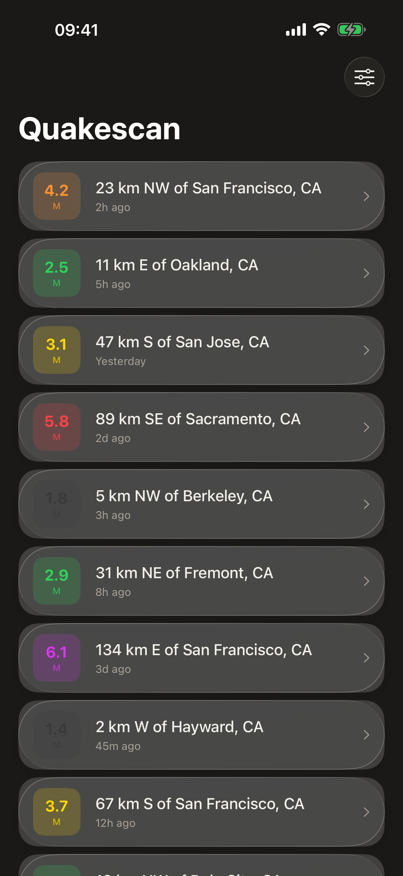
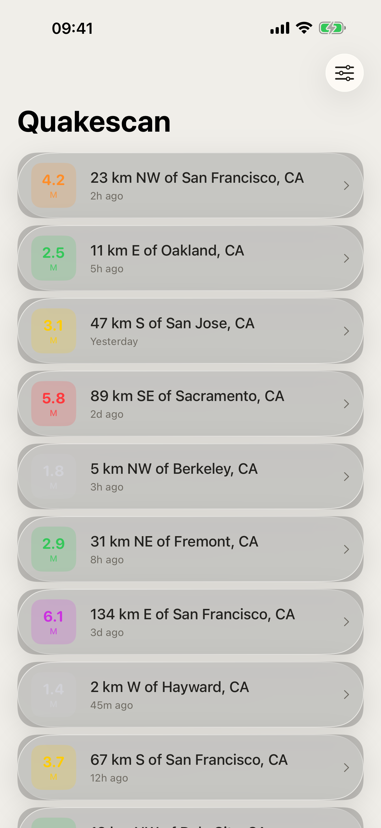
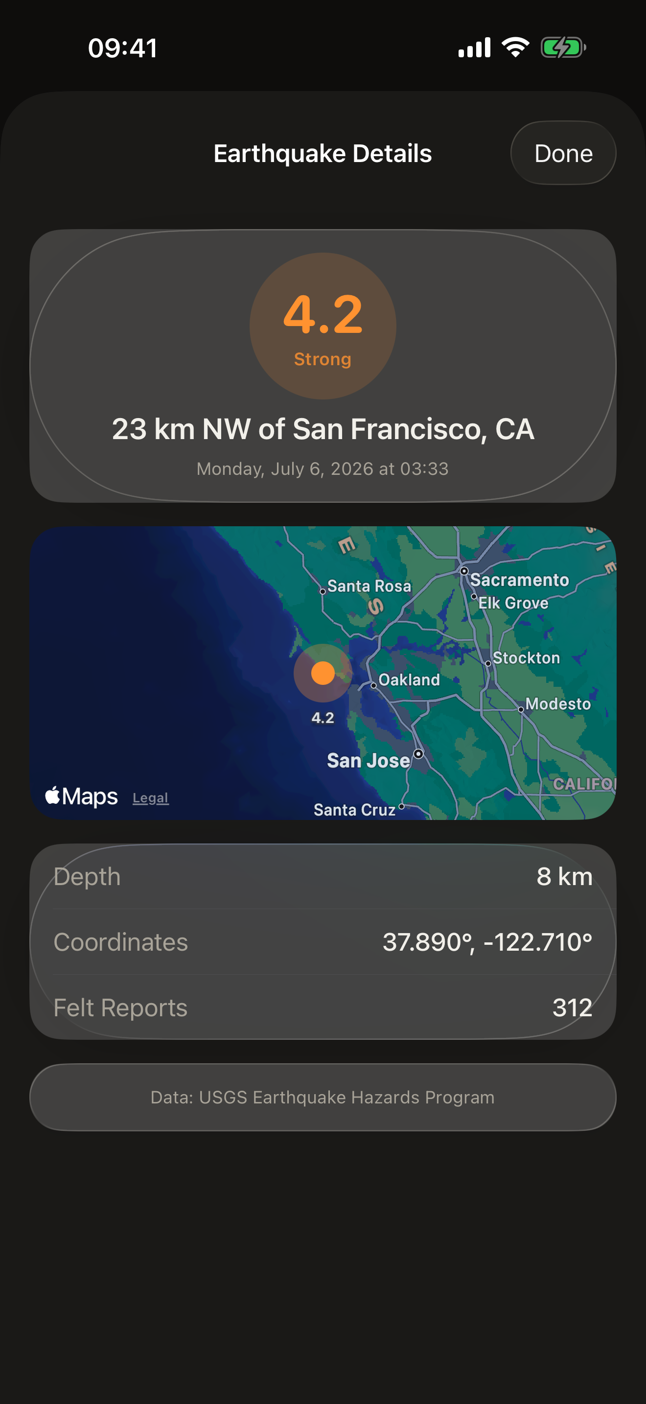
Open the app and see a clean list of nearby quakes: each one shows its magnitude, distance from you, time since the event, and depth. Tap any earthquake to see it on a map with full USGS details and a direct link to the source data.
Filter by radius (50 to 500 km), time window (1, 7, or 30 days), and minimum magnitude. Results are cached locally so the app stays useful with a spotty connection. Pull to refresh for the latest data.
WHAT MAKES QUAKESCAN DIFFERENT
- Nearest-first earthquake list with magnitude color coding
- Tap-to-detail: map, depth, felt reports, alert level, USGS link
- Adjustable search radius, time window, and minimum magnitude filter
- 15-minute local cache — works offline after first load
- Location-aware — shows your distance to each event
- Source: USGS Earthquake Hazards Program (public, no auth)
PRICING
Quakescan is completely free, with no account, subscription, or in-app purchases — all data comes from the public USGS Earthquake Hazards Program at no cost.
FEEDBACK
Made by a small indie team. Email obeliskclubclub@gmail.com with feedback, bug reports, or feature requests.
Core Capabilities
Live USGS earthquake data near your location
Magnitude color coding with M1–M6+ scale
Interactive map for each event with depth and felt reports
Interface
High Fidelity UI
High Fidelity UI
High Fidelity UI
More from Obelisk

SnapPro
SnapPro is the professional screenshot and screen recording tool macOS deserves. Pixel-perfect capture, unlimited recording, on-device OCR —…

ViewOne
Your iPhone fired off 50 burst photos at the playground. Now they're sitting on your Mac, and you can't bring yourself to sort through them.…
PhotoBridge
PhotoBridge backs up your iPhone photos directly to storage you own — Synology, QNAP, Nextcloud, AWS S3, MinIO, Aliyun OSS, or an external d…
How Quakescan compares
Honest, dimension-by-dimension comparisons — including where the other tool wins.