
About
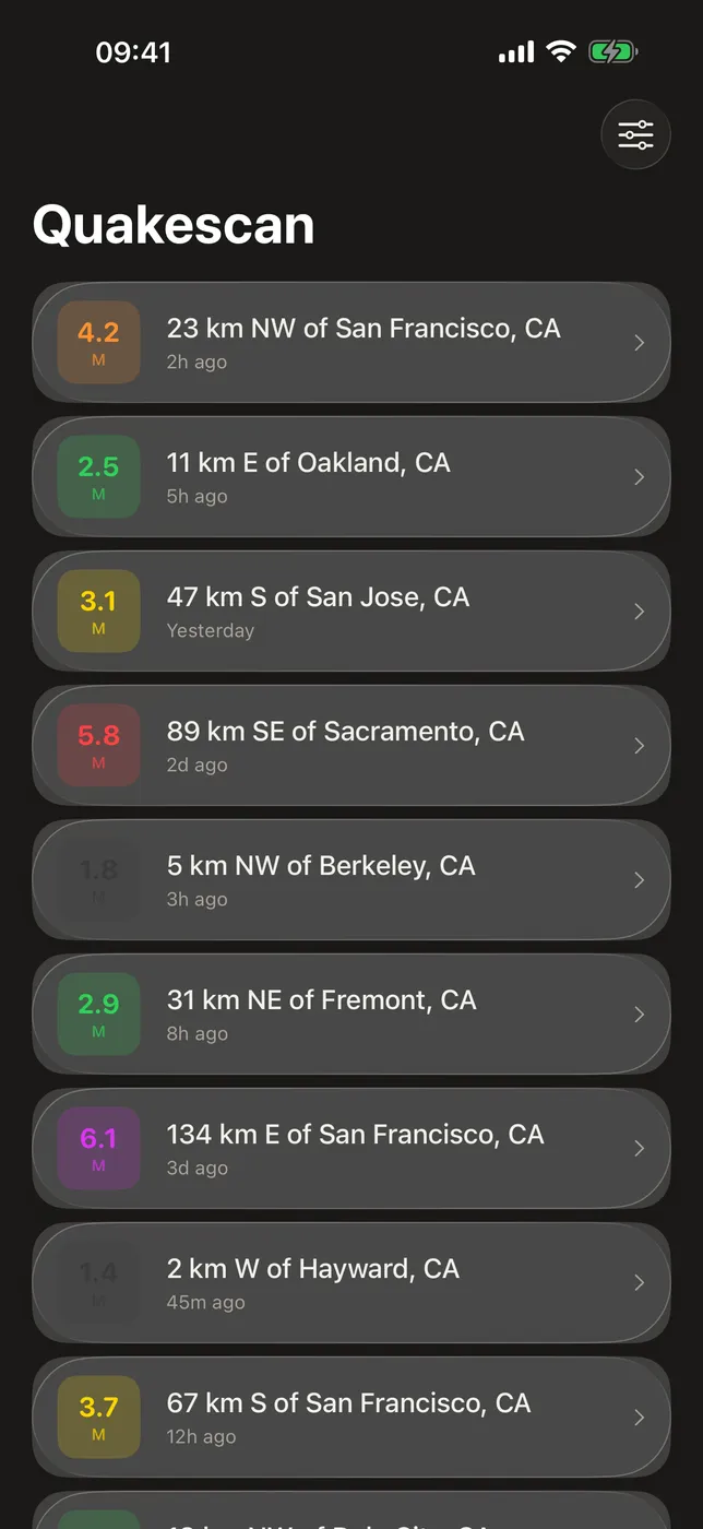
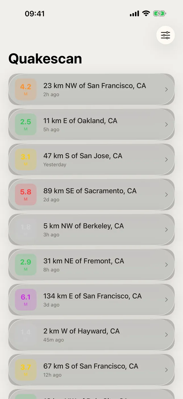
Quakescan lists the earthquakes that have just happened around you. It queries the public earthquake catalog published by the USGS Earthquake Hazards Program — the same feed seismologists work from — and shows each event with its magnitude, place, how long ago it happened, and how far it was from you.
No account, no sign-in, no ads, no tracking. Quakescan asks for your location once and needs an internet connection to pull new events; after that it keeps the last set of results on your device so a dropped connection does not leave you with a blank screen.
WHAT MAKES QUAKESCAN DIFFERENT
- Straight from the USGS catalog
Every refresh queries the USGS Earthquake Hazards Program directly. Nothing is re-reported, re-ranked, or editorialized along the way, and every event links back to its own page on the USGS site. - Centered on where you actually are
Quakescan searches the catalog around your current position and computes the distance from you to each event, so "40 km away" means 40 km from you rather than from a city center. - Newest events first
The list is ordered by time, so the most recent shake in your area is always the first row on screen — which is what you want when you have just felt something. - Six magnitude bands you can read at a glance
Every event carries a color-coded badge running from Minor through Light, Moderate, Strong and Major to Great, so a significant quake stands out before you read a single number. - A full detail view for every event
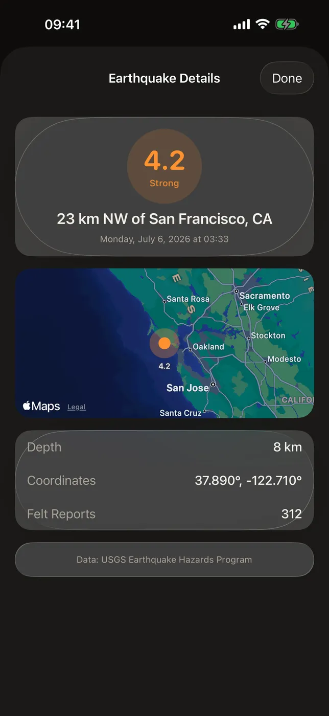
Tap a row for the epicenter on a map, the depth, the exact coordinates, how many people filed felt reports, the alert level, whether a tsunami was flagged, and a link to the USGS record. - Still readable when the connection is not
Each response is cached on your device for fifteen minutes. If a later refresh cannot reach the network, Quakescan falls back to that cache instead of showing you nothing.
WHO IS QUAKESCAN FOR?
- People living somewhere seismically active who want to check what just happened
- Anyone who felt a tremor and wants the magnitude, the depth, and the distance
- Travelers who want a quick read on recent activity wherever they have landed
- Anyone who would rather read the USGS catalog directly than wait for a news alert
PRICING
Included: the nearby earthquake list, the full detail view with its map, all three filters — search radius from 50 to 500 km, a 1, 7, or 30 day window, and a minimum magnitude — and the on-device cache. Quakescan has no in-app purchase and no subscription. Every feature above is there the first time you open the app.
FEEDBACK
Made by a small indie team. Email obeliskclubclub@gmail.com with feedback, bug reports, or feature requests.
Core Capabilities
Recent earthquakes near you, straight from the public USGS catalog
Newest events first, each with magnitude, place, time, and distance from you
Tap any event for a map, depth, felt reports, alert level, and tsunami flag
Filter by search radius, days back, and minimum magnitude
Color-coded magnitude badges, six bands from Minor through Great
Fifteen-minute on-device cache keeps the last results readable if the network drops
Interface
High Fidelity UI
High Fidelity UI
High Fidelity UI
More from Obelisk
SnapPro
Pixel-perfect capture, unlimited recording, on-device OCR — included at no additional purchase.
ViewOne
Your iPhone fired off 50 burst photos at the playground. Now they're sitting on your Mac, and you can't bring yourself to sort through them. ViewOne fixes that.

PhotoBridge
No third-party cloud. No subscription to a stranger's photo silo.
How Quakescan compares
Honest, dimension-by-dimension comparisons — including where the other tool wins.